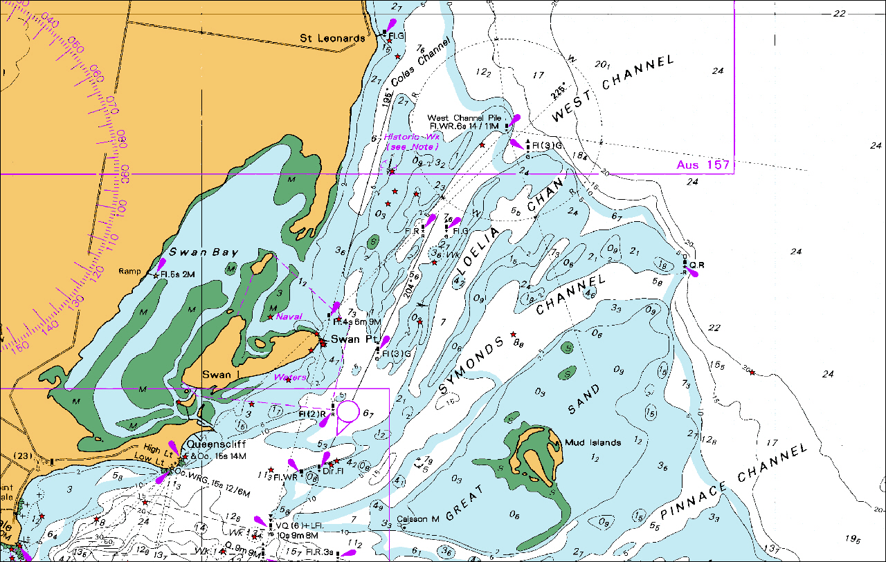
Latitude 38. 202570
Longitude 144. 723253
Grid location
55H 0300562
UTM 5769232 (WGS 84 accuracy 4m)

Clarence is situated within a historic shipwreck protected zone of 100m radius (see Legislative Protection).
Latitude 38. 202570
Longitude 144. 723253
Grid location
55H 0300562
UTM 5769232 (WGS 84 accuracy 4m)
Clarence is situated within a historic shipwreck protected zone of 100m radius (see Legislative Protection).


")


