Sunday 6 May
Having arrived in Australia on Wednesday evening to unsettled weather, my first two days here were days off. These seem to have been a welcome break for some, but when the amount of time you have to be involved in a project is so limited, there comes a point when you have to wonder at what point you will get into the water. Fortunately the next two days have been full days, with the mapping of the site now well under way.
 |
 |
|
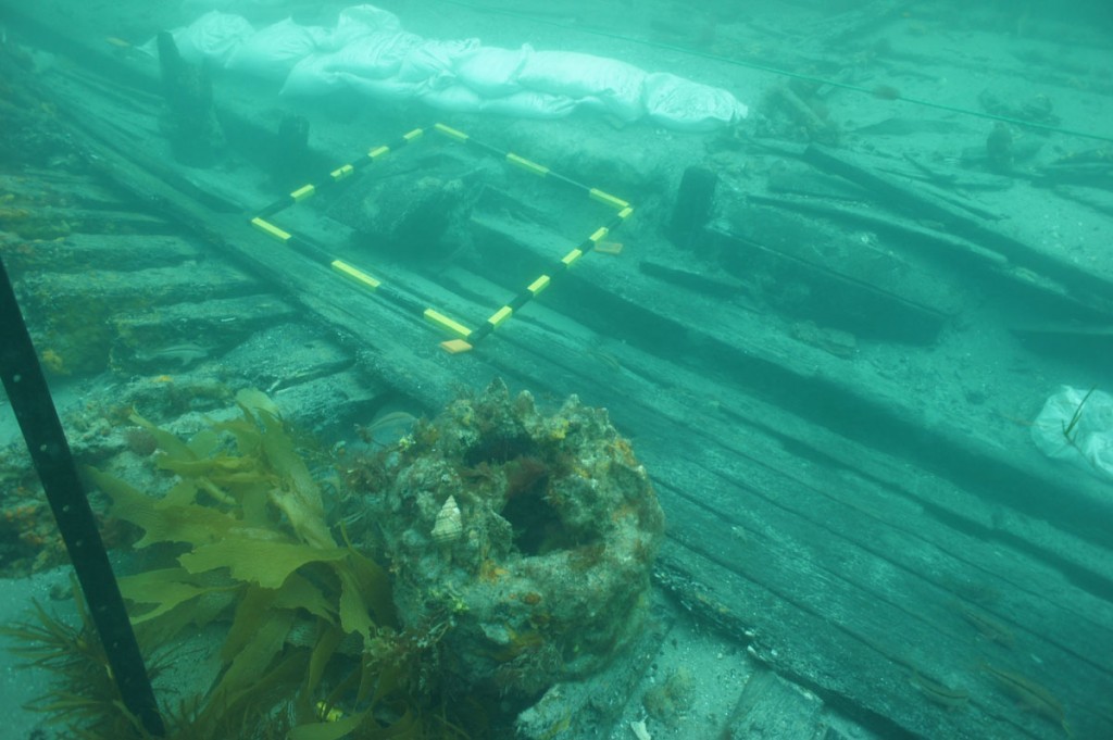
| Andy Dodd | Starboard side looking towards the stern (photo by James Parkinson) |
The recording has now progressed to approximately 2/3 of the excavated area, with the remainder expected to be completed tomorrow, weather permitting. Recording is done by dividing the wreck site into metre squares, which have been positioned along the keelson from bow to stern. The exposed frames and planking within these squares are sketched and photographed individually.
The exact position of each square is determined by taking distance and depth measurements from three corners of each square from fixed datum points laid out around the perimeter of the excavation area marked with warratahs (they call them ‘star pickets’ here). The information obtained from the individual squares can then be stitched together using the Site Surveyor software, or collated into photo mosaics. Measurements of width and thickness of individual timbers, as well as distance between frames provides some of the detail required to answer research questions relating to how robustly the Clarence was constructed, and comparison with data from other early Australian wrecks will hopefully provide some insights into early colonial shipbuilding methods.
by Andy Dodd Archaeologist New Zealand


